The Southern Beaches
Valencia has a couple of great city beaches in Malvarossa and Las Arenas, easily reached by bus or tram. But sometimes, Jürgen and I want to get away from the crowds and enjoy a more low-key day on the sand. So, we hop on bikes and head south to the series of beaches that stretch out along the coast between the city and the Albufera natural park.
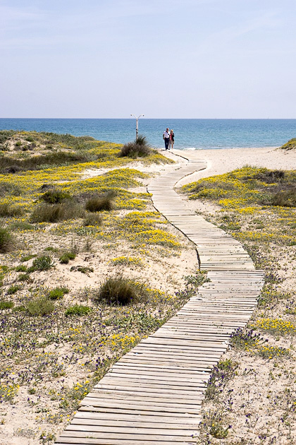
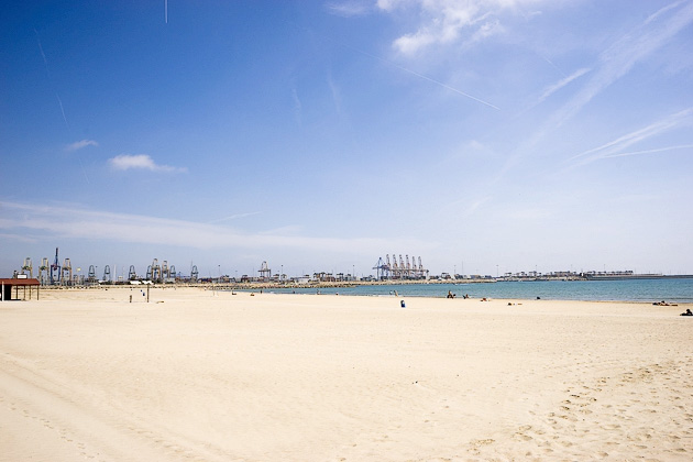
Although we tend to refer to them collectively as “the south beach,” there are technically six distinct beaches south of the city center, each with a slightly different character. I couldn’t tell you where one ends and the next begins, though, since it’s really just one long stretch of sandy coastline.
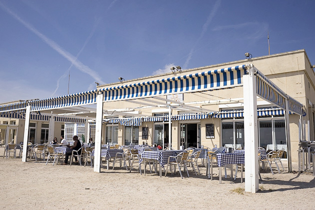
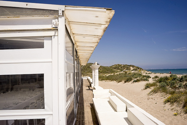
Pinedo Beach is the first beach encountered after leaving Valencia, and is the most developed of the southern beaches, with chiringuitos and plenty of services. We always blow right past it; after all, we’ve come south to get away from people entirely, not simply to find a slightly smaller crowd.
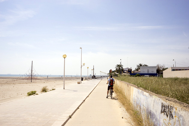
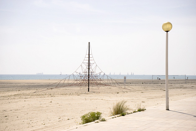
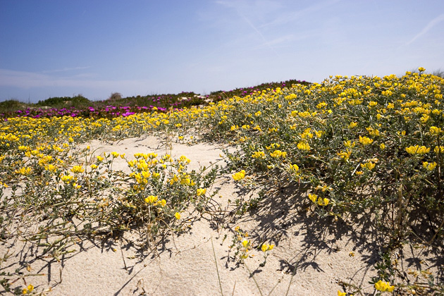
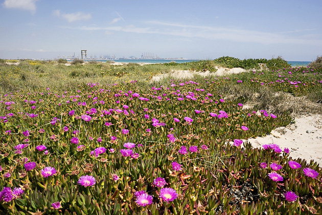
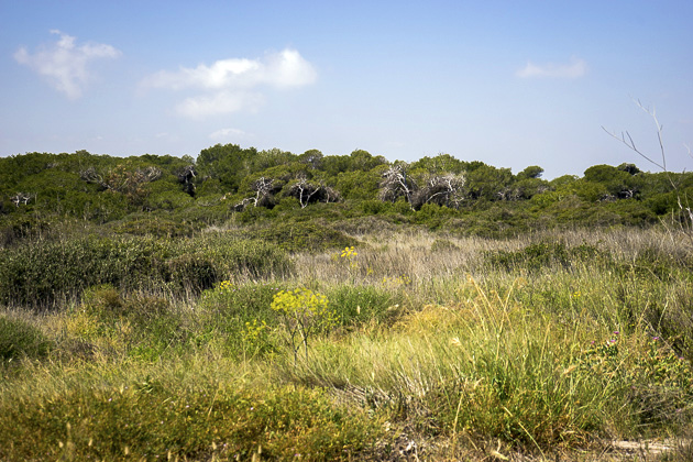
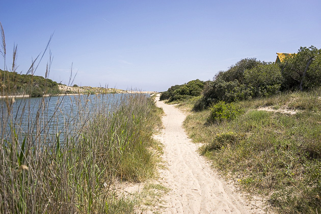
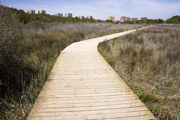
Next, you come to the beaches of L’Arbre del Gos and El Saler, where all traces of the city have disappeared and the terrain has been claimed by dunes, pine trees and grassy reeds. Here is the solitude we’ve been searching for, and this is occasionally where we’ll end our journey.
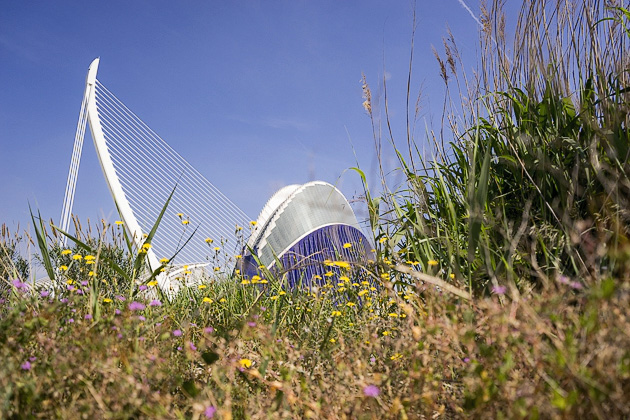
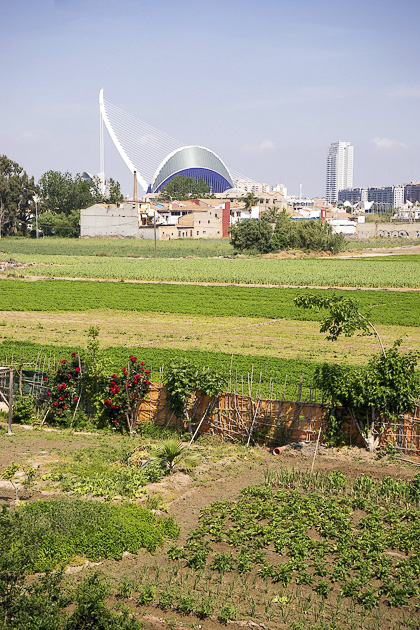
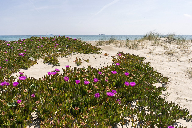
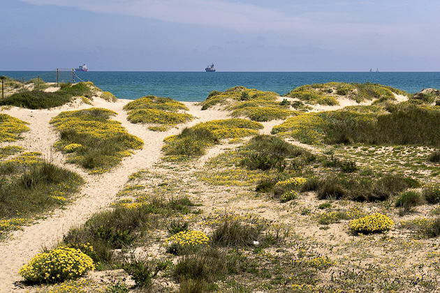
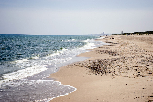
More often, though, we push on to Garrofera Beach, at the corner of the Albufera Lake. Protected by a set of large sand dunes, and far enough down the path to discourage most other visitors, Garrofera is perfect for a relaxing day at the beach. Valencia is still visible off towards the north, with the City of Arts and Sciences gleaming in the background, but otherwise we’ve found what we were looking for: peace and quiet, sun and sand.
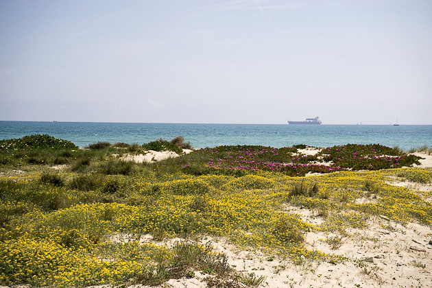
The next beach down the line, Devesa, is probably even more beautiful than Garrofera, as long as you have no problem with nudity. Although it’s not specifically signed as such, this is where Valencia’s naked sunbathers tend to congregate.
The last of Valencia’s southern beaches is Perellonet, which borders a small seaside village of the same name. With so many other options, we’ve only once ever made it this far. It’s alright, but not as nice as Devesa or Garrofera.
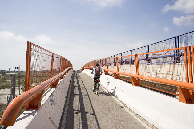
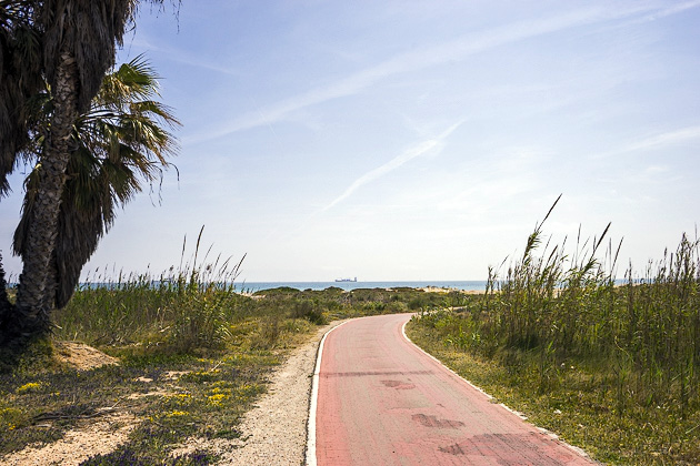
If you don’t have a car, the best way to reach the southern beaches is on bike, as there’s a dedicated path reaching all the way from the end of the Turia Riverbed to Garrofera Beach. It’s an easy and picturesque journey of about forty minutes, and you’ll probably find yourself making frequent camera breaks along the way.
There are also buses which serve the southern beaches, though their schedules are infrequent, and the drop off isn’t exactly close to the water. Still, this is an inexpensive option. The bus you’ll be looking for is #25. It runs every hour in the summer, and you can pick it up near the Parque Parterre. Confusingly, there are two different 25 buses, so make sure to ask the driver about your destination, if you’re unsure.
Locations on our Map: Pinedo | L’Arbre del Gos | El Saler | Garrofera | Devesa | Perellonet | Bus #25 Pickup




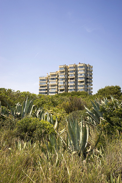


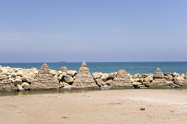

As usual, great post! And also as usual, I’m a little Jiminy Cricket.- Beaches are often separated by firebreaks/fireroads or by the channels that communicate l’Albufera with the sea.- EMT Bus 25 runs in summer much more often, there’s a bus at :05, :20 and :50 (aproximately). The final destination is irrelevant to reach the beaches, both destinations share route as far as Devesa beach, the only difference is that the :05 bus usually heads to El Palmar (old fishing village in a Albufera island) and the rest heads to El Perellonet: http://www.emtvalencia.es/geoportal/?lang=en_otp . There’s also a metropolitan bus (yellow) a bit more expensive but 10 minutes faster: http://www.autocaresherca.com/linea.aspx?idLineaRegular=41 a curiosity, at the end of the 60s decade, there was a great “masterplan” to change all these beaches to a Benidorm-like style: a beach promenade (destroying the dunes, this was finished, but reverted in the late 90s), dozens of 12-stories residential buildings, apartments, 5 “beach villages”, many hotels, a golf course, a “marina” (the small muddy lake besides Devesa beach), an hipodrome (destroying a bird reserve, now is reverted into “El Racó de l’Olla”), supermarkets, etc… http://metode.cat/images/stories/numeros/METODE_70/44b-70.jpg fortunatelly, and despite being still in a dictatorship, the plan could be reverted with only a few construtions finished in the Garrofera area (also known as “Les Gavines” or “Sidi”), but there are some urbanization unfinished and not yet reverted in some areas: https://goo.gl/maps/AGvm7.